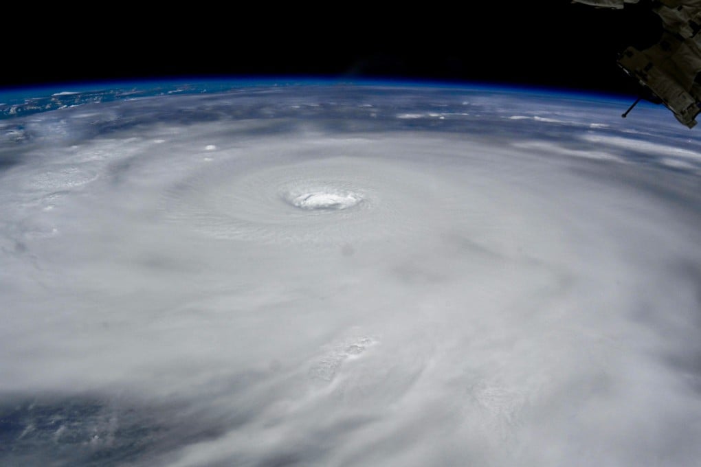
Explainer | How you can prepare for a super typhoon as Ragasa batters Hong Kong
Cyclone expected to come closest to city on Wednesday morning, with hurricane-force winds of at least 118km/h

Hong Kong and its neighbouring areas are on high alert as Super Typhoon Ragasa makes its way to the city, poised to bring strong winds, heavy rain and severe storm surges.
The cyclone is forecast to be closest to the city on Wednesday morning, with the Hong Kong Observatory warning that winds may reach hurricane force offshore and on high ground by then.
Hurricane-force winds refer to those that maintain a speed of at least 118km/h (73.3mph). The Observatory will raise its highest No 10 typhoon signal when hurricane-force winds are expected to affect the city.
The Post offers advice on how you can prepare for the cyclone.
1. Stay indoors and don’t hit the waterfront
According to guidelines from the Observatory, you should seek appropriate shelter when a No 8 or above warning signal is in force.